Land near the grid, matched with the people who need megawatts.
Data center developers will pay for land that can get a large power connection soon. Most of that land belongs to farmers, ranchers, families and industrial owners. We sit in the middle — privately, and with your consent at every step.
What makes land "powered"
Acres alone are cheap. Acres that can be connected to a large amount of electricity within a few years are rare. Developers check seven things, roughly in this order.
Substation distance
How far the land is from a substation that steps power down from the high-voltage grid. Shorter means a cheaper, faster connection — if that substation has spare capacity.
What you can check: Look on a map for a fenced yard of transformers near you, and note the road.
Available megawatts
How much extra load the utility can actually deliver to the site, and by what year. This is the number buyers pay for; it comes from the utility, not from the land.
What you can check: Ask your utility or co-op whether anyone has requested a load study near you.
Transmission voltage
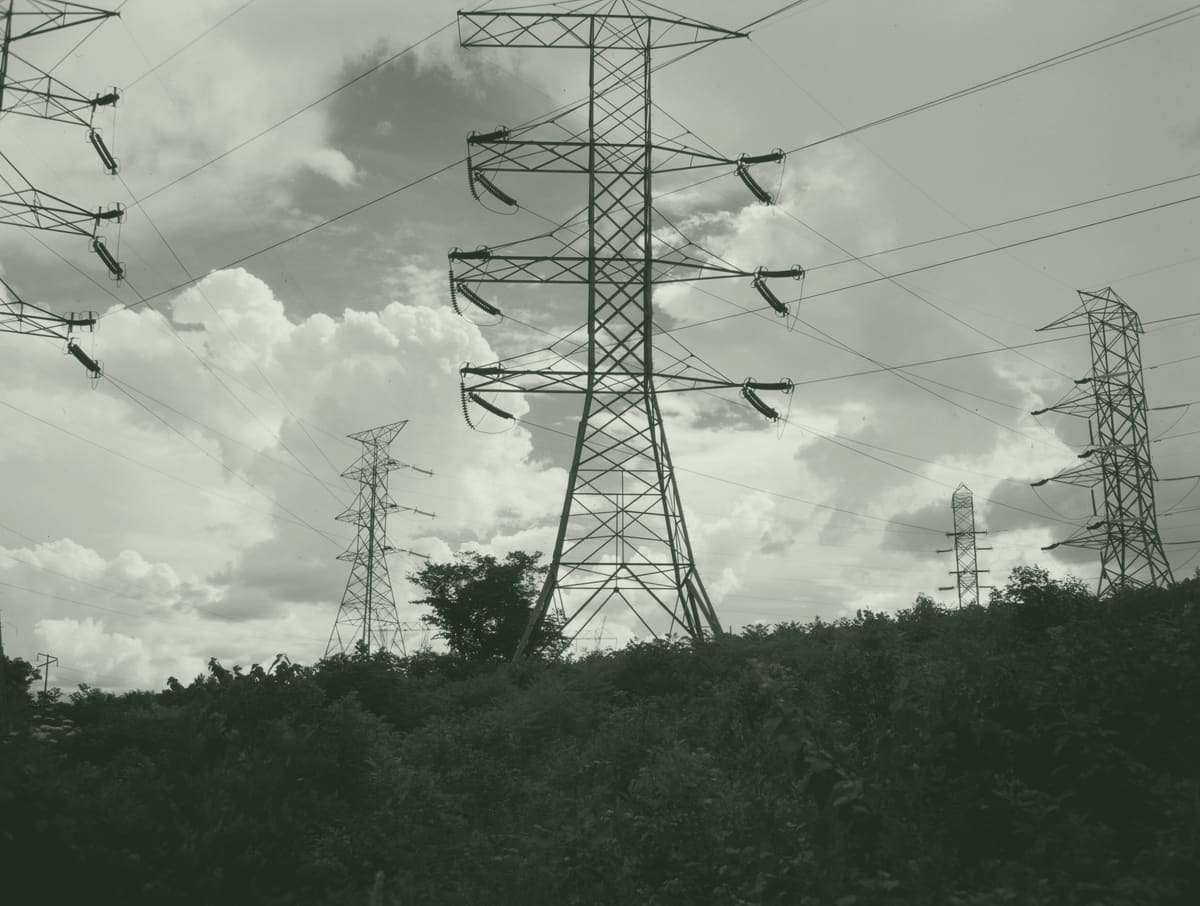
The big steel or lattice towers carry power at transmission voltage. Campus-size loads connect there, not to the wooden poles along the road.
What you can check: Note whether a large line crosses or borders your land. A tag on the tower often names the owner.
Interconnection queue
Power plants and large customers wait their turn to connect. Long queues mean a site with an existing path to power is worth more than one starting from zero.
What you can check: Nothing to do — this is our part.
Water
Some cooling designs use a lot of water, others very little. Counties increasingly ask where it will come from before approving a project.
What you can check: Note any municipal water line, wells or water rights.
Fiber
Fiber-optic routes carry the data. Easier to add than power, but a route along your road shortens the schedule.
What you can check: Look for buried-cable markers along the road.
Zoning and the county
Agricultural land usually needs rezoning. More counties now require public hearings, and some have paused data centers altogether.
What you can check: Check your county board agendas for "data center" items.
The full version, with incentive and moratorium tables: data center site selection guide. The difference between selling land and leasing a building: powered shell vs powered land.
Is my land powered?
Tick what you already know about your land. Each answer lights a piece of the line on the drawing. Not knowing is normal; finding out is our job.
Nothing ticked yet. That is where most owners start: send the location and acreage and we look up the grid ourselves.
Free and private. Nothing is published without your written consent.
Numbers worth knowing — with their sources
Share of all US electricity used by data centers in 2023 (about 176 TWh). Projected at 6.7–12.0% by 2028. — LBNL, Dec 2024
Median time from interconnection request to operation for US power projects built in 2025, up from 36 months in 2015. — LBNL Queued Up, Jun 2026
Range of price per acre across 29 closed US data center land sales in our table (median $500,000). Location and power explain most of the spread. See every deal.
US local or state data center moratoria adopted or voted on in 2026, in our restrictions table. Zoning is now the most common reason a well-powered parcel fails.
We publish a number only with a source. If it's not published, we say so.
How it works
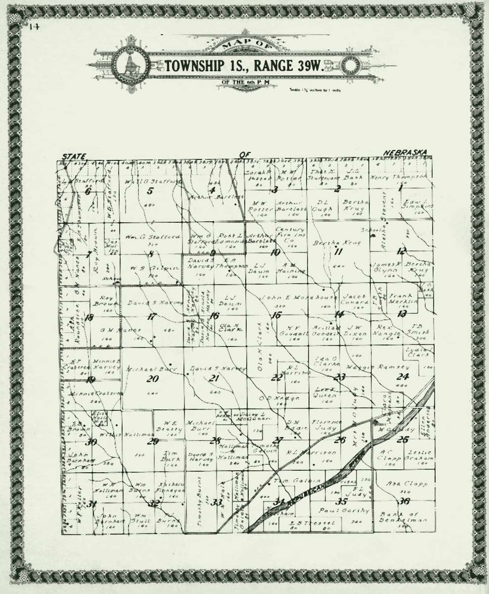
If you own land
- Tell us where it is and how big it is. What you know about power, water and fiber helps, but isn't required.
- We check the grid around it, the county rules and the obvious deal-breakers, and tell you honestly what we find.
- If it fits a developer's brief, we ask your permission before sharing anything. You can say no.
- Offers come to you. You negotiate with your own attorney or broker.
If you need a site
- Send the load, ramp, timing and regions you'd consider.
- We screen parcels owners have brought us against your criteria and the local rules.
- With the owner's consent, we introduce you and help both sides through the technical questions.
Want to see what's already being built? Projects under construction and announced are tracked on megawattlas.com.
How we get paid. Submitting land or a site request is free. We earn a finder's or brokerage fee only when a deal we introduced closes, on terms agreed in writing before the introduction and disclosed to both sides. Full disclosure.
The reports behind the numbers above, and every land-deal and restriction record, are listed on our Sources page.